London Knowledge – Scans (2019)
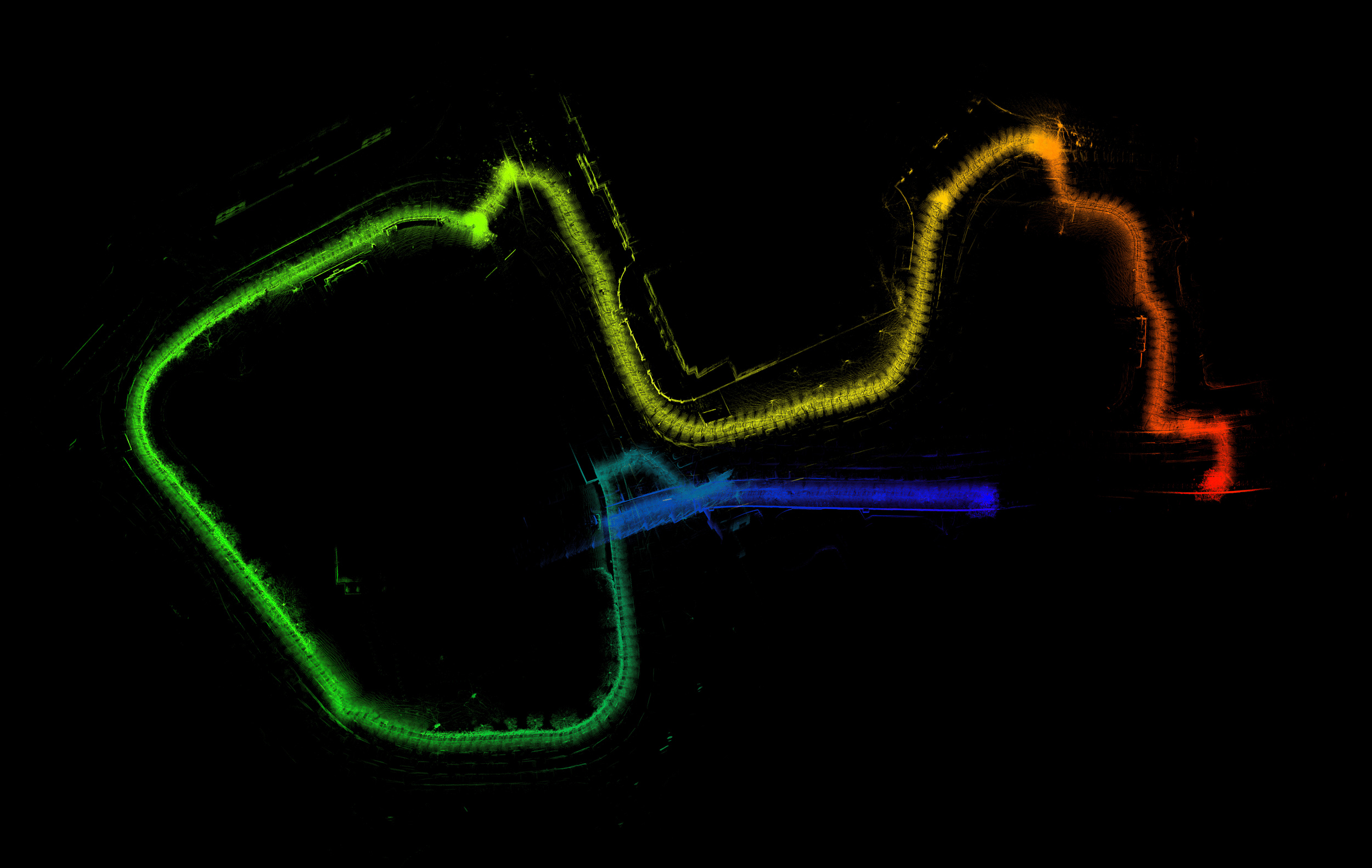
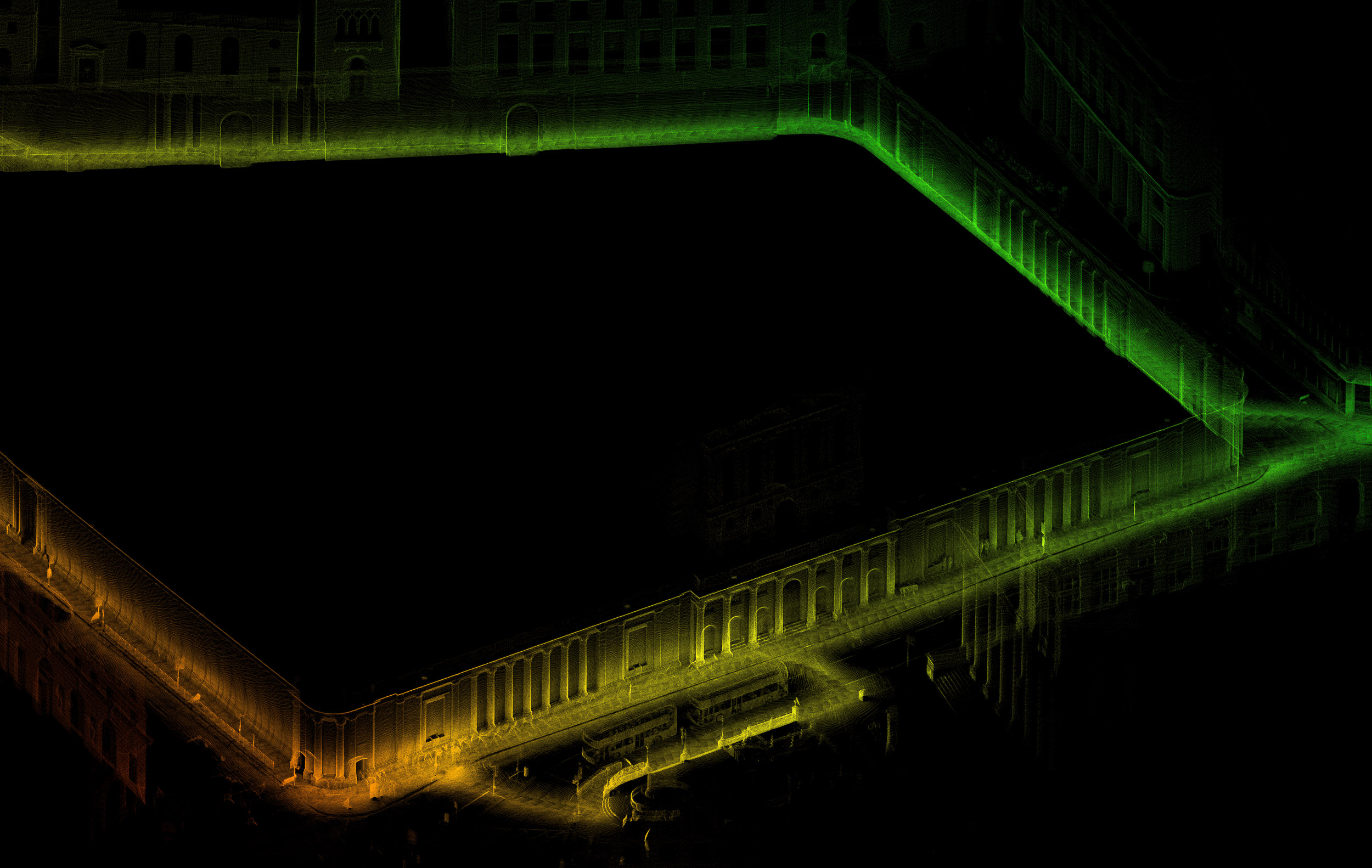
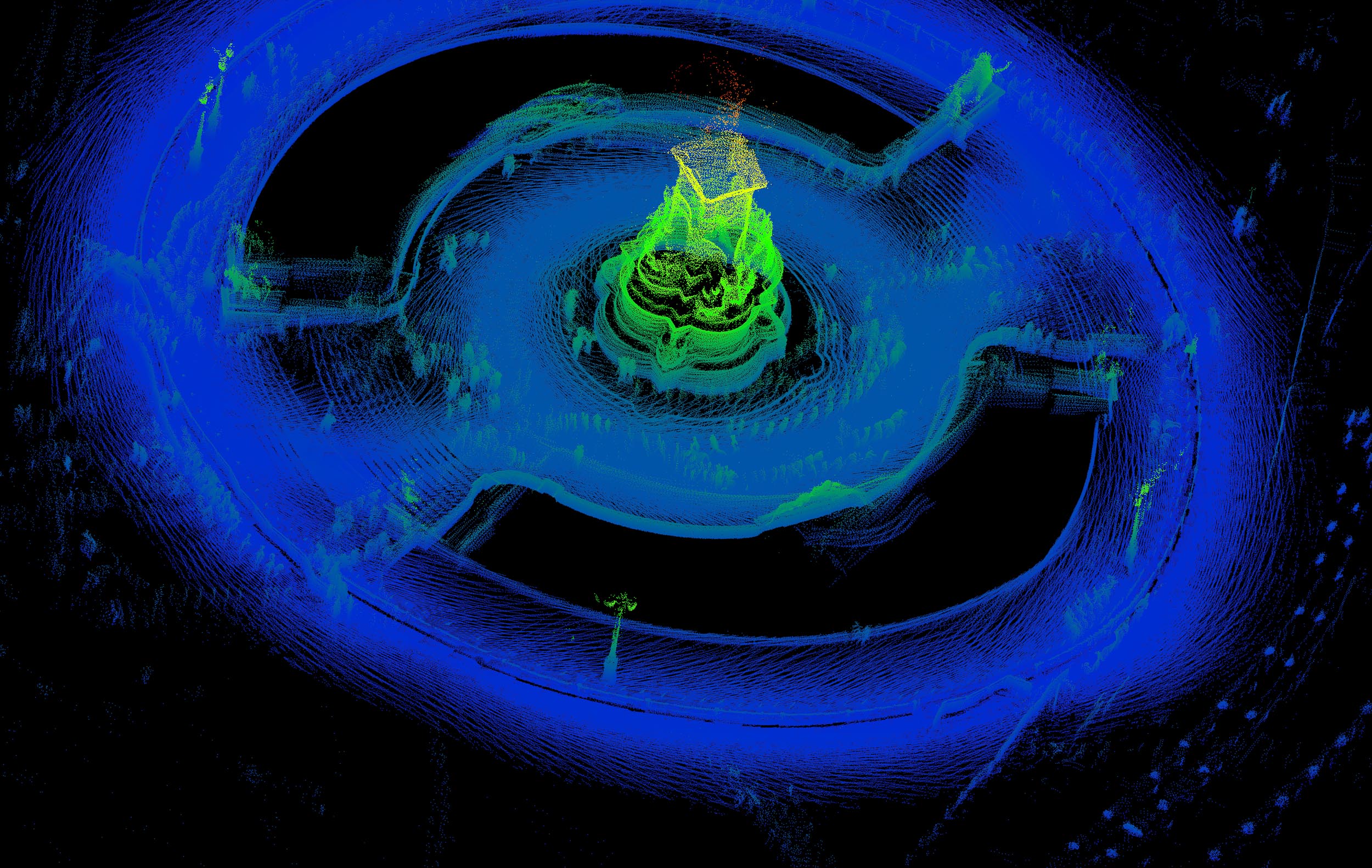
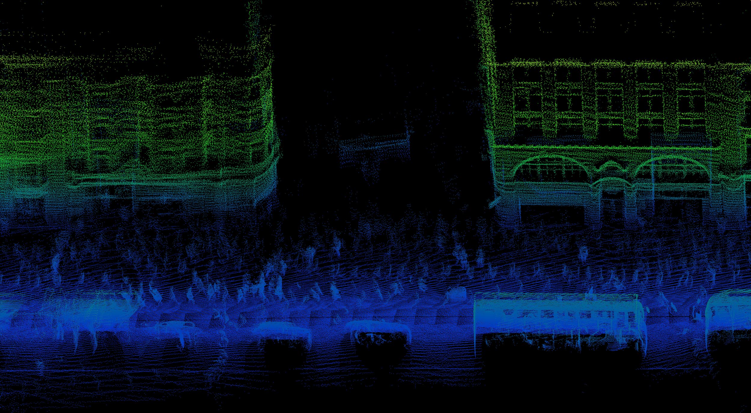
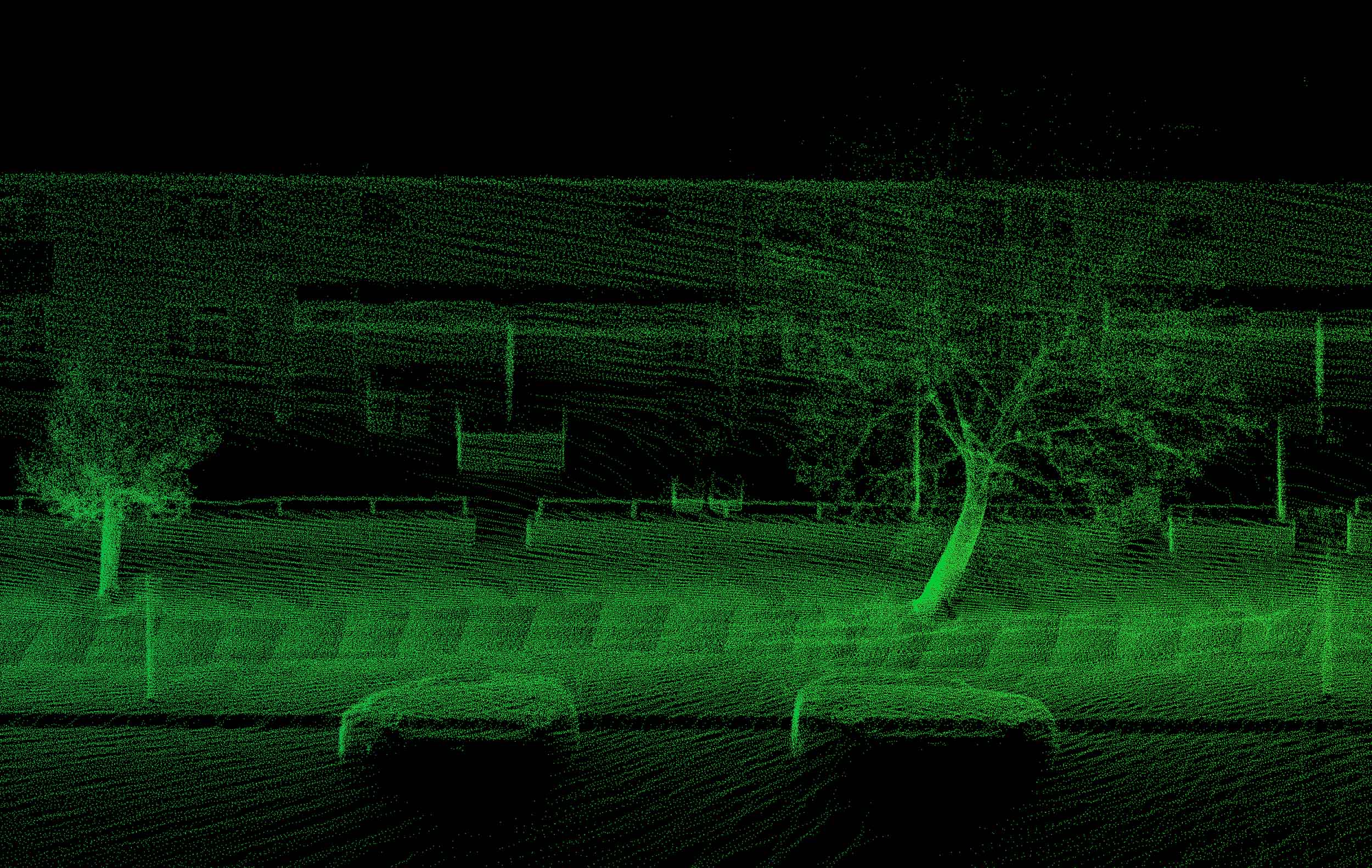
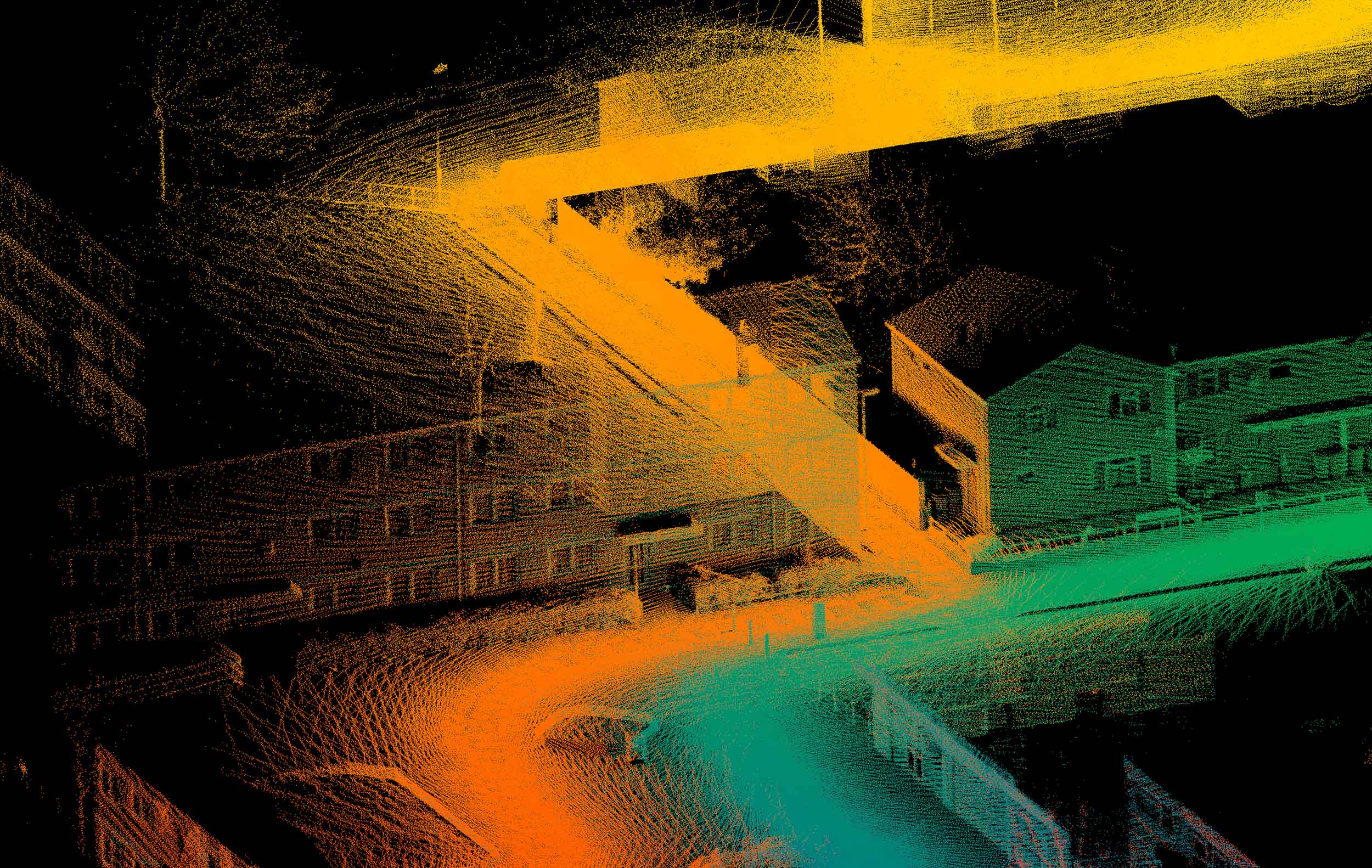
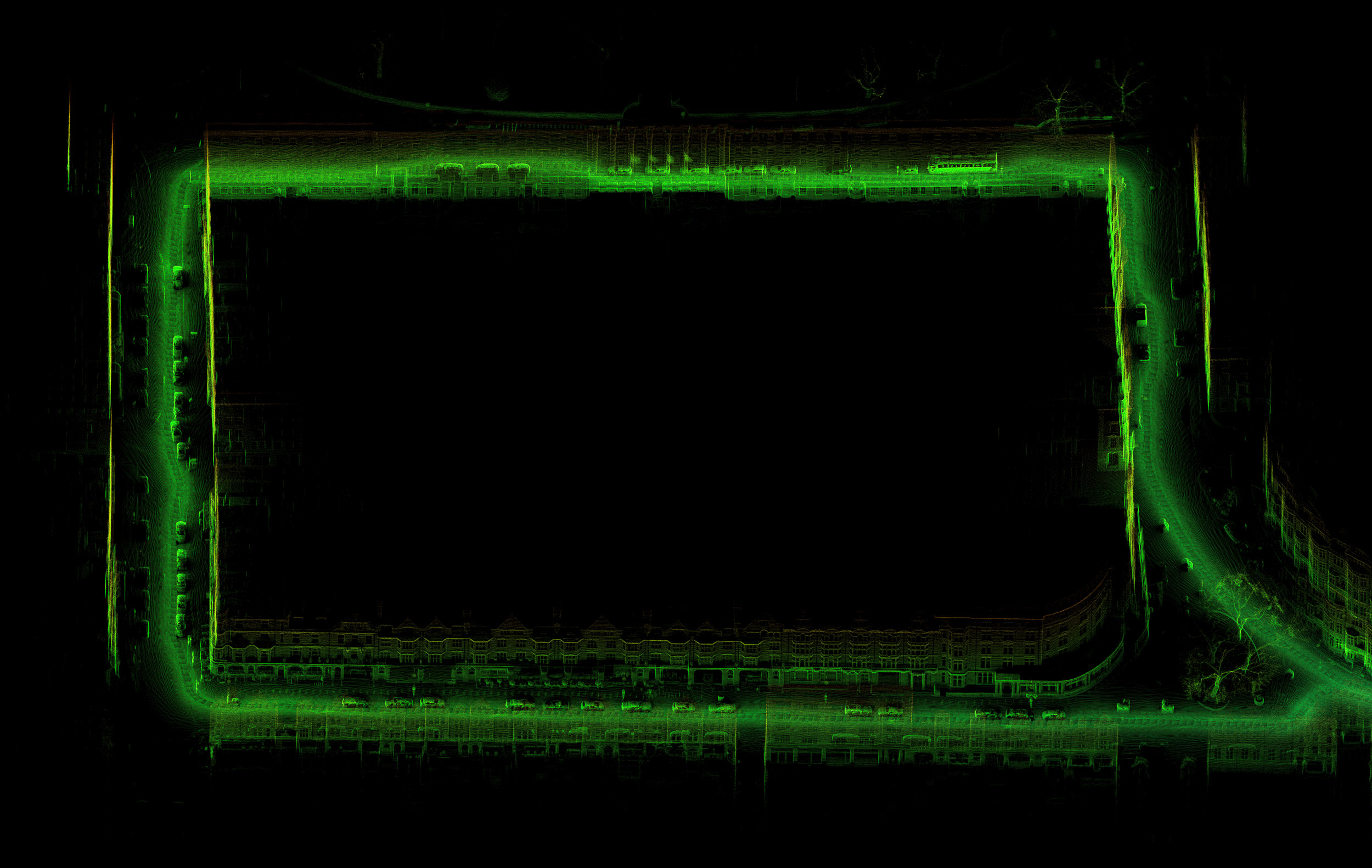
The images from this project are laser scans made of locations and journeys memorable to individual drivers from London’s black taxi cab community. These points in the city were identified during a series of interviews I conducted with selected drivers about how they memorised London’s entire street network inside their brains, leading to a qualification known as the Knowledge.
Using similar methods to radar, laser scanning technology builds 3D maps of space by bouncing light beams to and from physical objects. The resulting data is sorted into a collection of points in relation to three axes (x, y, z) and according to various criteria, including height, time, and density of points. The 3D scans from this project use a variety of colour spectrums to categorise the journey information recorded.
This technology underpins the sight and navigation of the self-driving car. A s a result, it will most probably lead to the end of the taxi driving profession as we know it. These images suggest the changes this technology is making to how we understand the urban environment, as well as hinting at the kinds of human knowledge and memory that may be lost.
This project is supported by equipment loans from Prof Mat Disney, UCL Geography and NERC NCEO.
